A walk along the Thames Path from Weybridge to Windsor, on 7 April 2018.
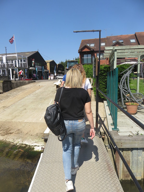
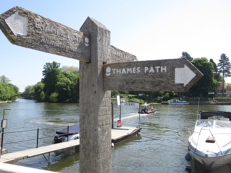
This section of the path gets off to an exciting start, with the Shepperton ferry. My previous walk had ended short of the target when the river was too fast-flowing for the ferry to operate, but this time I phoned in advance to check that it was running.
A ferry service has operated here for around 500 years, albeit with a gap from the 1960s. It runs every 15 minutes, costs £2.50 single, and it only takes a few seconds.[3. Shepperton – Weybridge Pedestrian Ferry, Nauticalia Marine Services]
The Thames Path returns to dry land, and then follows one or other bank of the river for almost all of its route to Windsor.
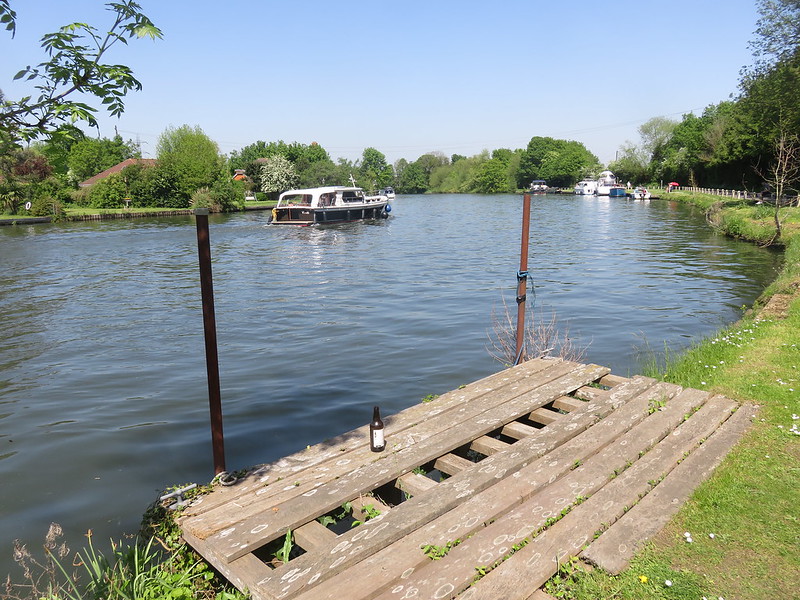
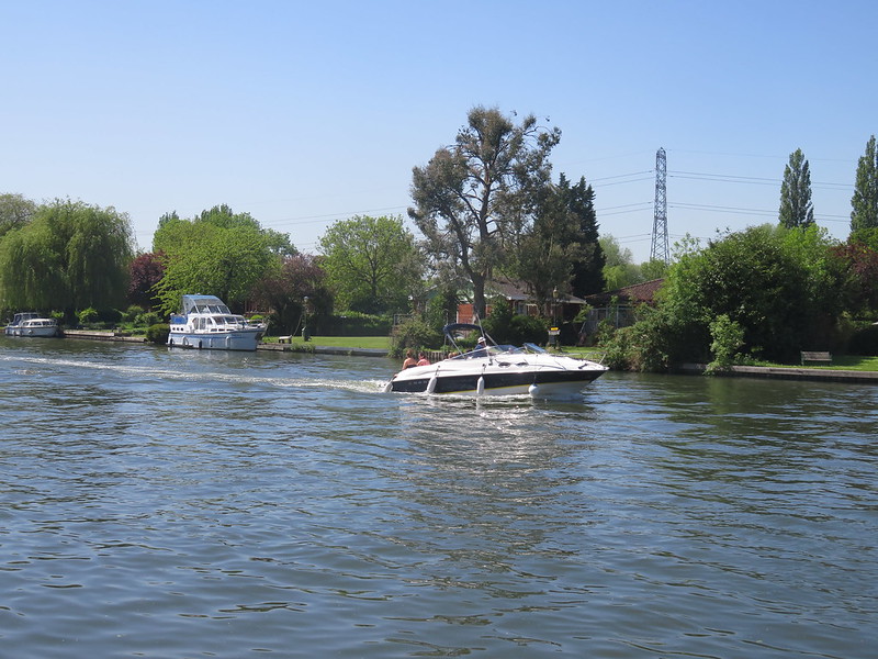
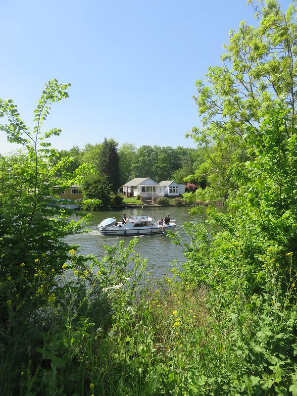
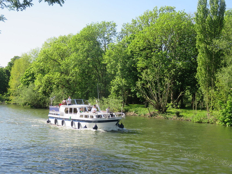
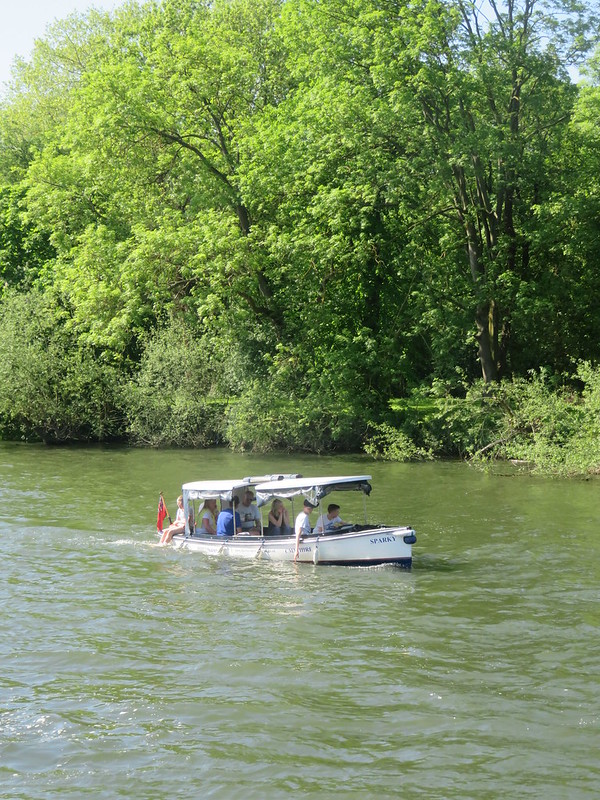
It was a gloriously sunny May bank holiday Monday, and a lot of people were out on the river…
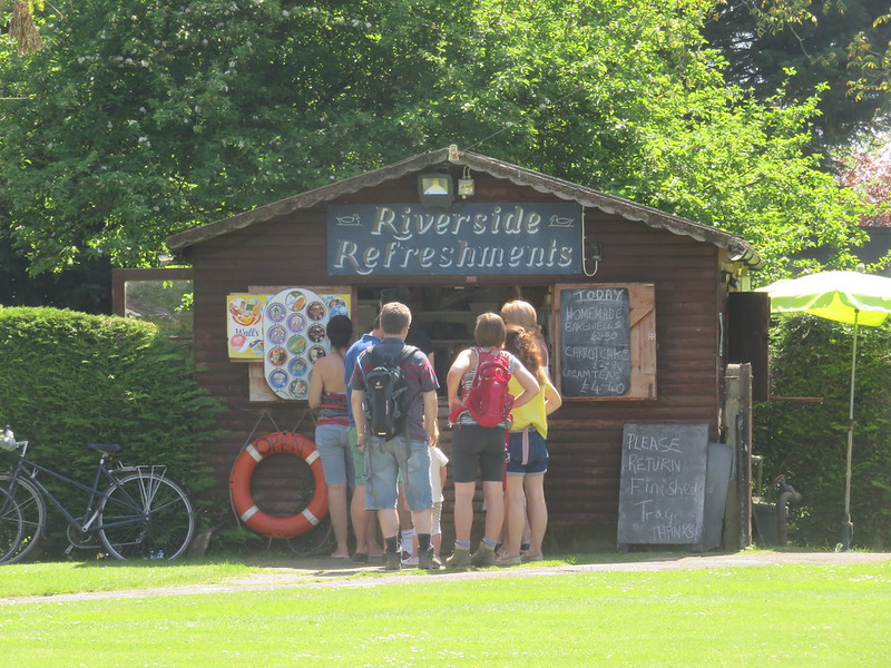
…or buying ice cream ashore.
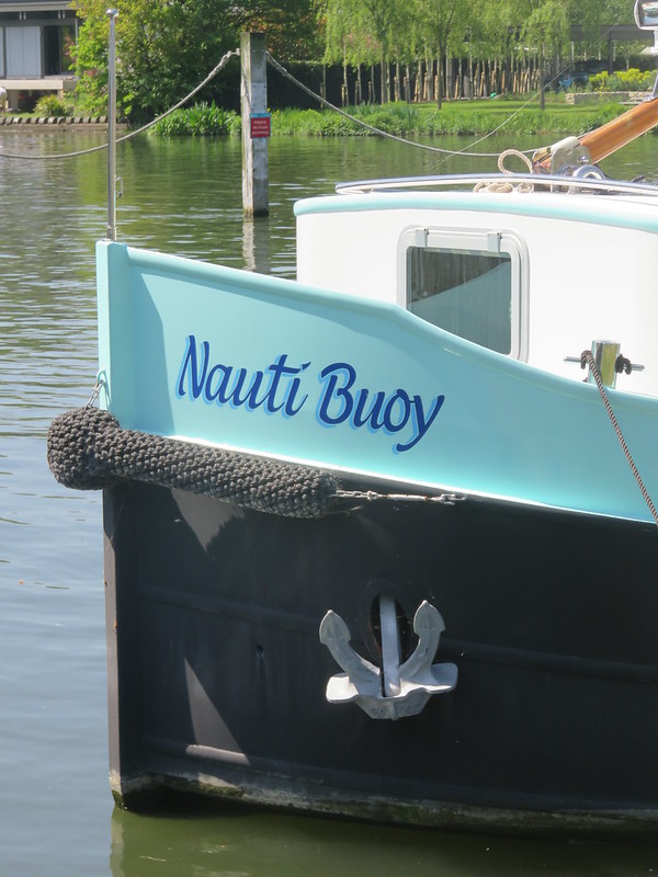
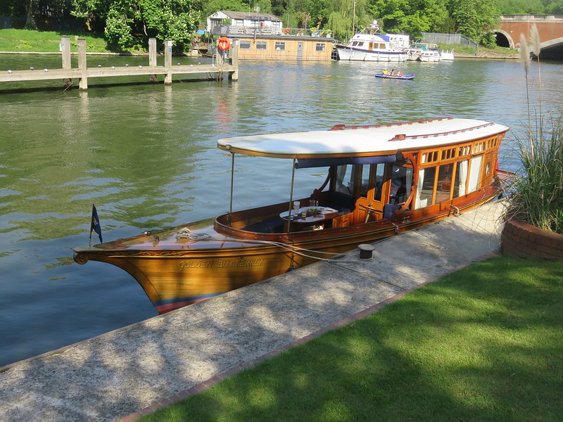
There were lots of boats on the river, some with silly names.
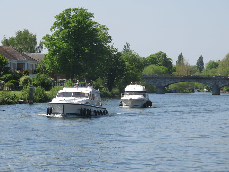
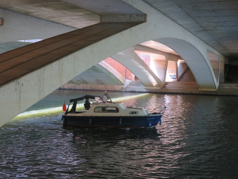
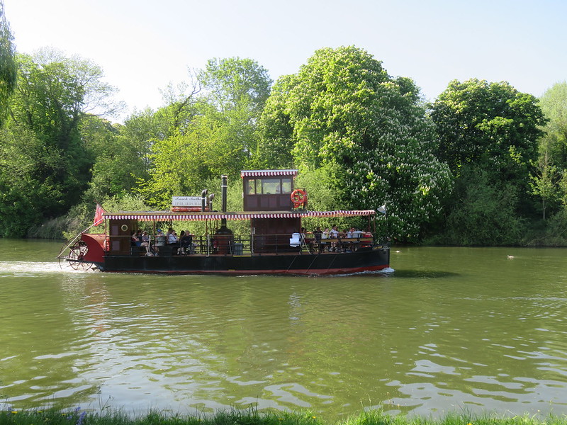
Boats crusing along the river.
Dumsey Meadow is a Site of Special Scientific Interest and apparently the only undeveloped water meadow on the Thames downstream from Caversham.
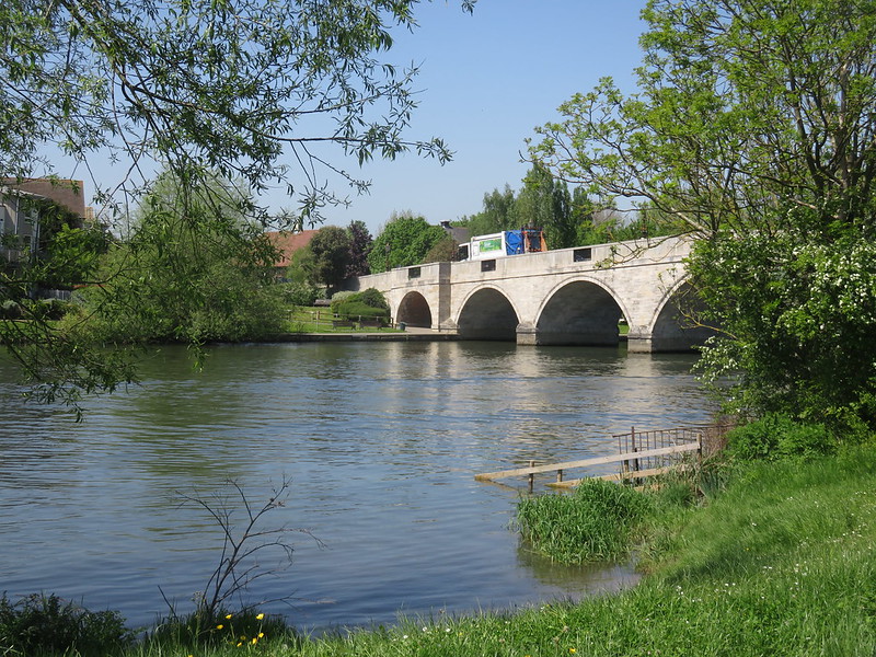
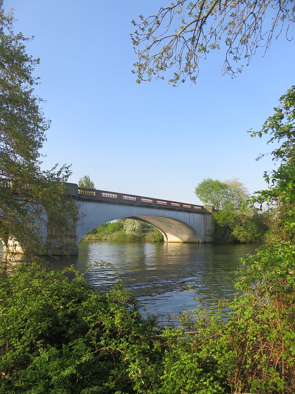
Next comes Chertsey Bridge.
1783-85. Architect James Paine. The least altered of his Thames bridges. Five principal segmental arches centre widest, with flanking single flood arches in slight breaks. Drip over arches. Coursed and dressed rubble with band at base of ashlar parapet, cornice above. Cast-iron panels in parapet over spandrels and breakwaters (pointed in plan with round tops at springing of arches). Numerous tie rods. 1930s lamps.[1. Historic England]
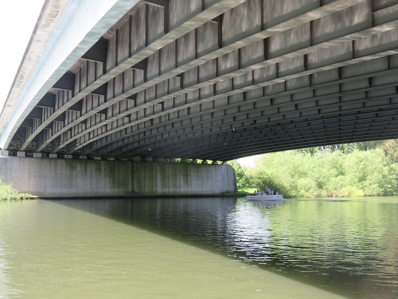
A brief stop at the Kingfisher pub, then onwards to the somewhat less pretty M3 motorway bridge.
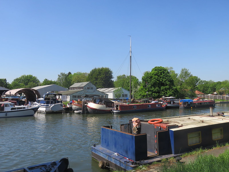
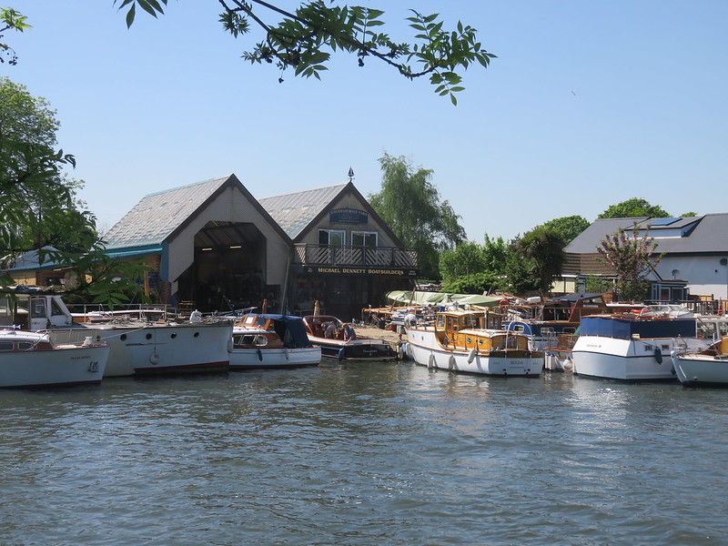
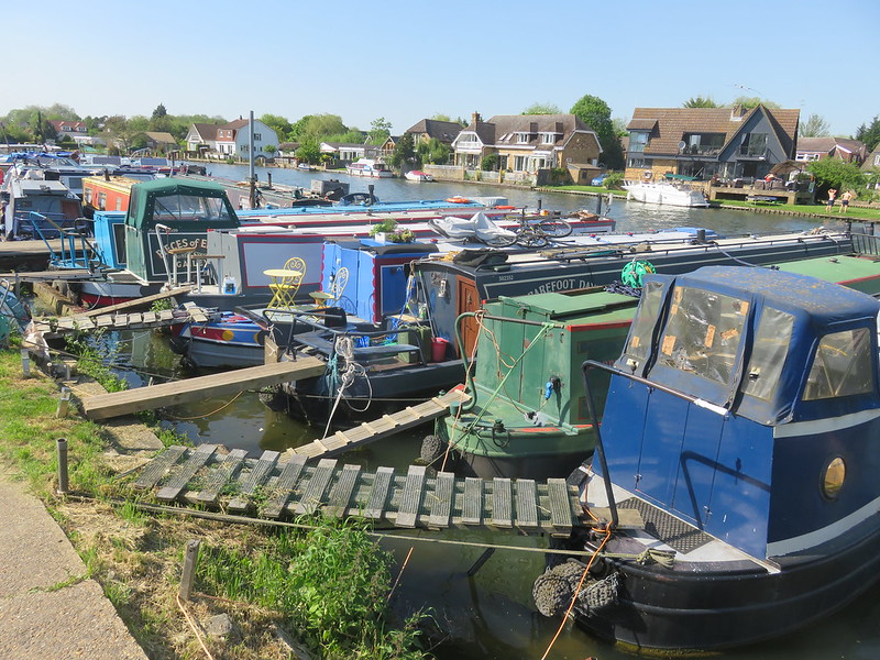
Boatyards always seem a lot more picturesque than other types of industrial sites.
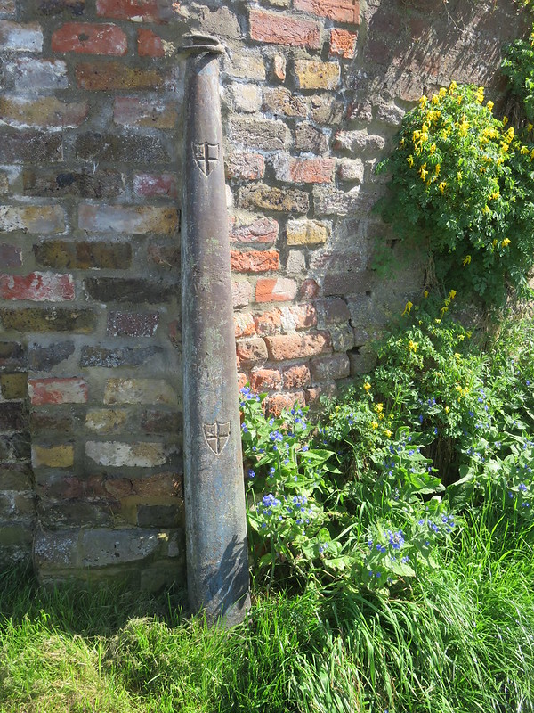
A – well, what is it? – with the City of London arms.
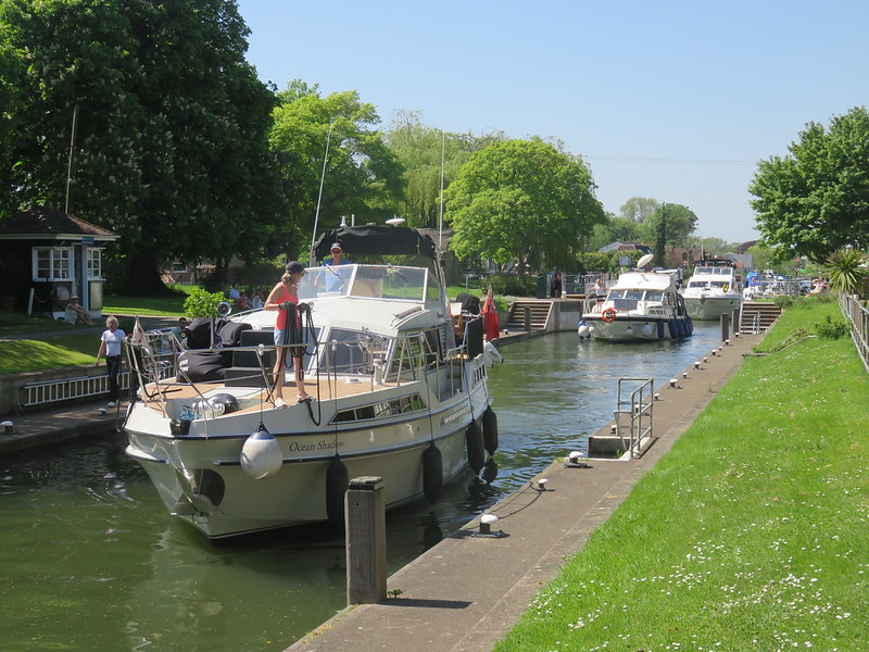
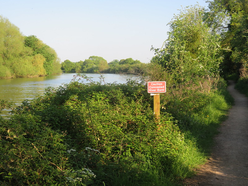
A typical view along this stretch of the Thames.
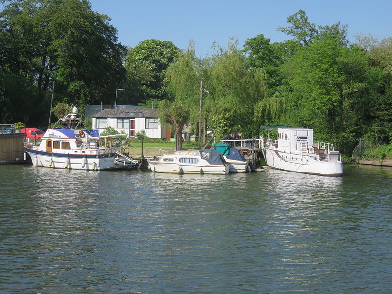
Old boats often seem prettier than newer ones.
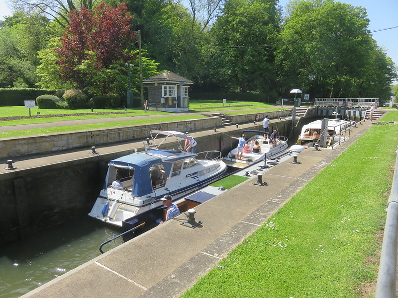
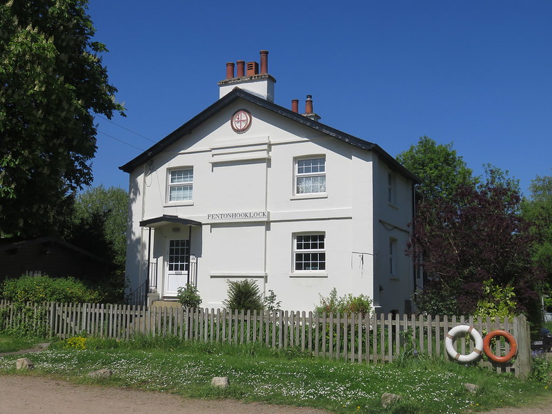
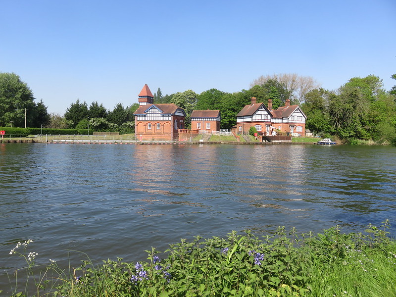
The lock keeper’s house at Penton Hook Lock.
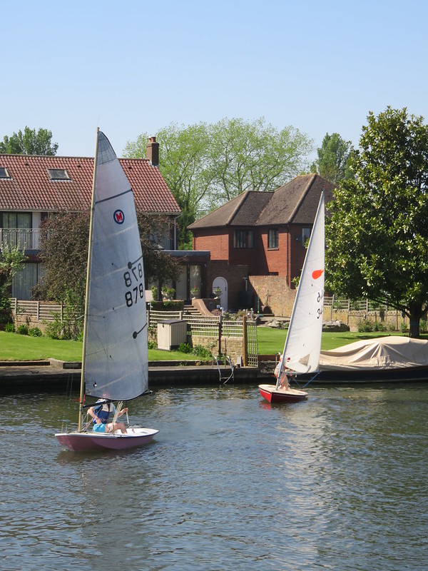
Boats using sail power.
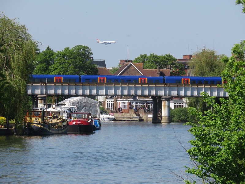
Plane, train and boats at Staines. Or Staines-upon-Thames as it now is. No-one mention Ali G.
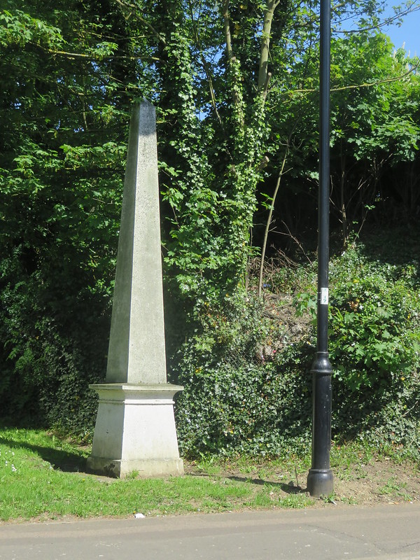
A type 4d coal duty post next to the railway.
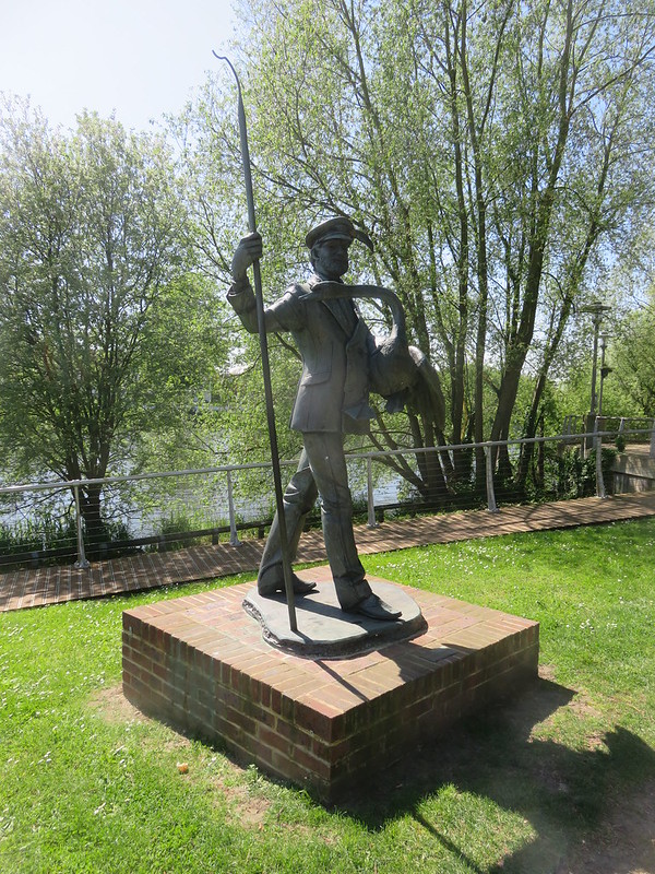
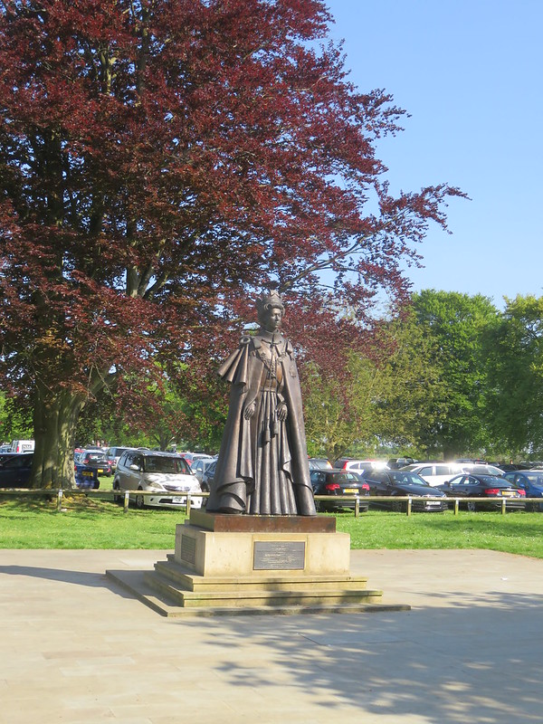
The Swanmaster statue, by Diana Thomson. Unveiled by the Mayor of Spelthorne on 4 November 2014.[2. Diana Thomson Sculptor]
A replica of the London Stone which once marked the limits of the City of London’s rights on the river. The original is now in the Spelthorne Museum.
The Thames Path crosses the river, and at the other end of the bridge there is another coal tax post, this time a type 2* with a correction plate
Passing under the M25 orbital motorway at Runnymede Bridge; the path finally leaves everything which might in some very informal sense be seen as “London”.
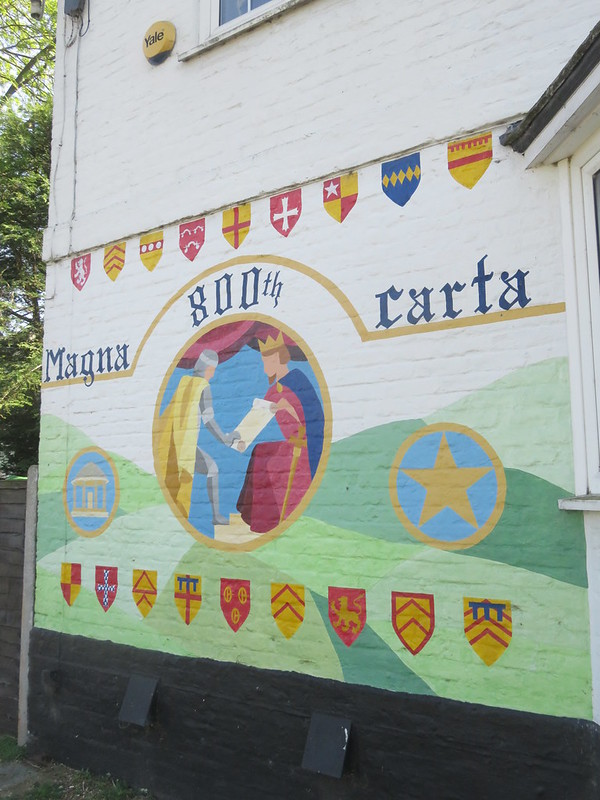
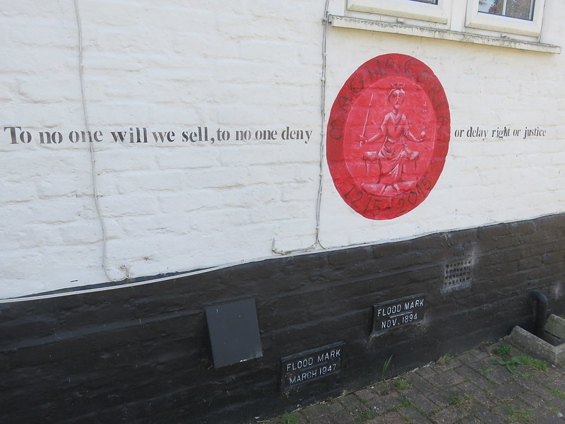
“…the memorable Charta, known as Magna Charter on account of the Latin Magna (great) and Charter (a Charter); this was the first of the famous Chartas and Gartas of the Realm and was invented by the Barons on a desert island and in the Thames called Ganymede”, as the book 1066 & All That put it.[1. 15 June 1215: A Significant Date in History, British Library, 15 June 2013]
“Magna Charter was therefore the chief cause of Democracy in England, and thus a Good Thing for everyone (except the Common People)”.
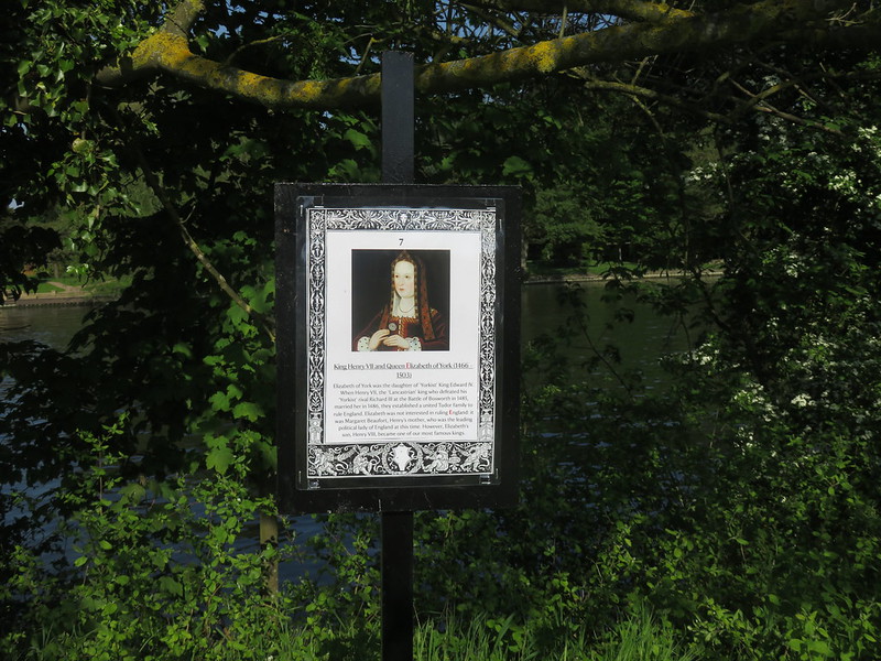
Some queens.
Mind the gap.
Albert Bridge, I wonder what the next bridge will be called?
The Thames Path diverts away from the river briefly at Datchet.
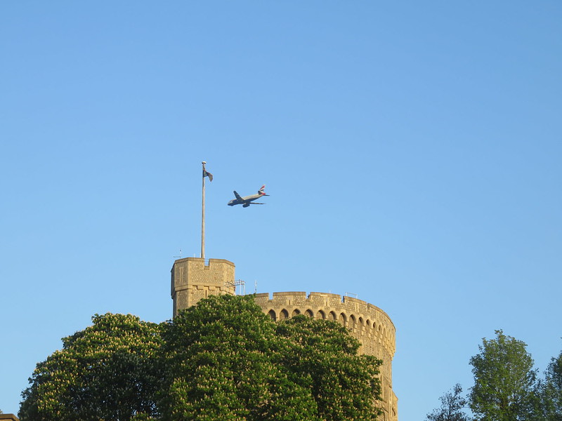
And Windsor is reached. Had the Normans known where Heathrow airport was going to be, they might have rethought the location of the castle.

