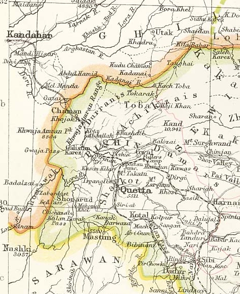
Amongst a collection of Historical Maps of India is Plate 24 Sect. III: Afghan Frontier, SE Afghanistan and west Punjab from the 1893 edition of Constable’s Hand Atlas of India, showing the never-built Chaman – Kandahar railway.
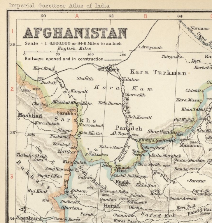
The Digital South Asia Library has a high resolution scan of the 1909 Imperial Gazetteer of India map of Afghanistan showing the Russia railway from Merv (Mary) to Kushka (Serhetabat) close the Afghan border.